Capturing satellite signals to sense soil moisture
Article By : Purdue University
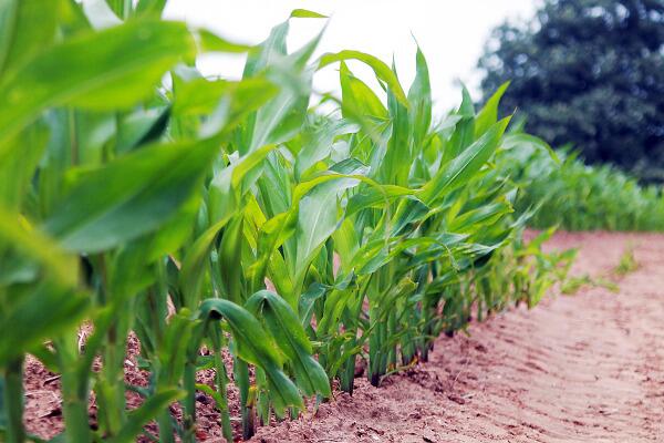
The technology developed at Purdue uses a specialised receiver to capture reflections of communication satellite signals having wavelengths of about 1 metre.
Purdue University researchers have developed a technology that measures the reflections of communication satellite signals to sense soil moisture below the surface.
Conventional satellite technology used for measuring soil moisture cannot operate at longer wavelengths due to the required antenna size and the substantial interference from communications links. Current observations of soil moisture from a satellite uses wavelengths of about 20cm and can only penetrate the soil about 5cm. Predictions of sub-surface soil moisture, currently require the application of models to extend the surface measurements deeper.
The technology developed at Purdue uses a specialised receiver to capture reflections of communication satellite signals having wavelengths of about 1 metre, which scientists refer to as “P-band.”
“The reflectivity of the surface is a function of the soil moisture, and that allows us to quantify the amount of moisture in the soil so, if necessary, growers can take corrective actions to protect their crops,” said James Garrison, a professor in Purdue’s School of Aeronautics and Astronautics, and Electrical and Computer Engineering (by courtesy).
Purdue's technique is known as “signals of opportunity,” or SoOp, and essentially utilises the same transmissions that are the source of interference that prevents measurements from other methods. P-band SoOp is expected to sense soil moisture down to 15 to 20cm below the surface. Reflections of the signals from the surface are compared to the original satellite signals.
“By using these existing satellite signals we bypass the requirements for licensing a P Band transmitter, which is extremely difficult,” Garrison said. “It also reduces the size of the antenna required.”
Researchers have tested a prototype of the instrument on a small plane during an experiment in the Little Washita watershed in Oklahoma. They now plan to collect data from a fixed tower location to observe the changes in a single agricultural field over at least one growing season.
If successful, this technology can be mounted on drones for planning the irrigation schedule of crops.
The technology has been patented through the Purdue Office of Technology Commercialisation and is available for licensing.